Acerca de About
Al provenir de un entorno científico y de ingeniería con experiencia compartida en cartografía y análisis de datos, en eLucidata le ayudamos a superar los obstáculos técnicos que a menudo se encuentran durante el proceso de investigación de datos. En lugar de aceptar un trabajo y devolver los resultados de nuestro análisis una vez finalizado el contrato, adoptamos el enfoque de colaborar activamente con nuestros clientes para asegurarnos de que sepan lo que hemos hecho y por qué lo hemos hecho, fomentando su participación en cada paso del camino. En el caso de los clientes que tienen la intención de aplicar las soluciones de datos que creamos juntos en futuros proyectos, trabajaremos con usted para empezar a desarrollar las habilidades y los recursos que necesitará para asumir estas tareas más adelante. En el caso de proyectos que requieran técnicas de análisis o visualización más avanzadas, podemos elevar la interpretabilidad de sus datos mucho más allá de lo básico, creando representaciones de datos que se adapten estrechamente a sus necesidades y propósitos específicos. Coming from both an engineering and scientific background with shared experience in mapping and data analysis, we at eLucidata help you clear the technical hurdles often encountered during the data investigation process. Rather than taking a job and then passing back the results of our analysis once the contract is complete, we take the approach of actively engaging with our clients to ensure that you know what we did and why we did it, encouraging your involvement every step of the way. For clients who intend on applying the data solutions we create together on future projects, we will work with you to start developing the skills and resources you will need to take on these tasks further down the road. For projects that call for more advanced analysis or visualization techniques we can elevate the interpretability of your data far beyond the basics, creating data representations that are closely customized to your specific needs and purposes.

Doffy Blachowski
Doffy es, a primera vista, un felino doméstico de pelo corto que se describe mejor como la versión azul rusa de Grumpy Cat. Sin embargo, tenemos algunas razones para dudar de su identificación (no de la parte gruñona, de la que estamos bastante seguros) como "felino". En cambio, sospechamos que no es de esta tierra. Su misión principal en este planeta parece ser la protección y el vaciado diario de sus cuencos de comida y los de sus hermanos felinos. Doffy is, at first glance, a domestic shorthair feline best described as the Russian Blue version of Grumpy Cat. However, we have some reason to doubt her identification (not the grumpy part, that bit we're pretty confident in) as "feline". Instead, we highly suspect that she is not of this earth. Her primary mission on this planet appears to be the protection and prompt daily emptying of her, and her feline-brother's, food bowls.

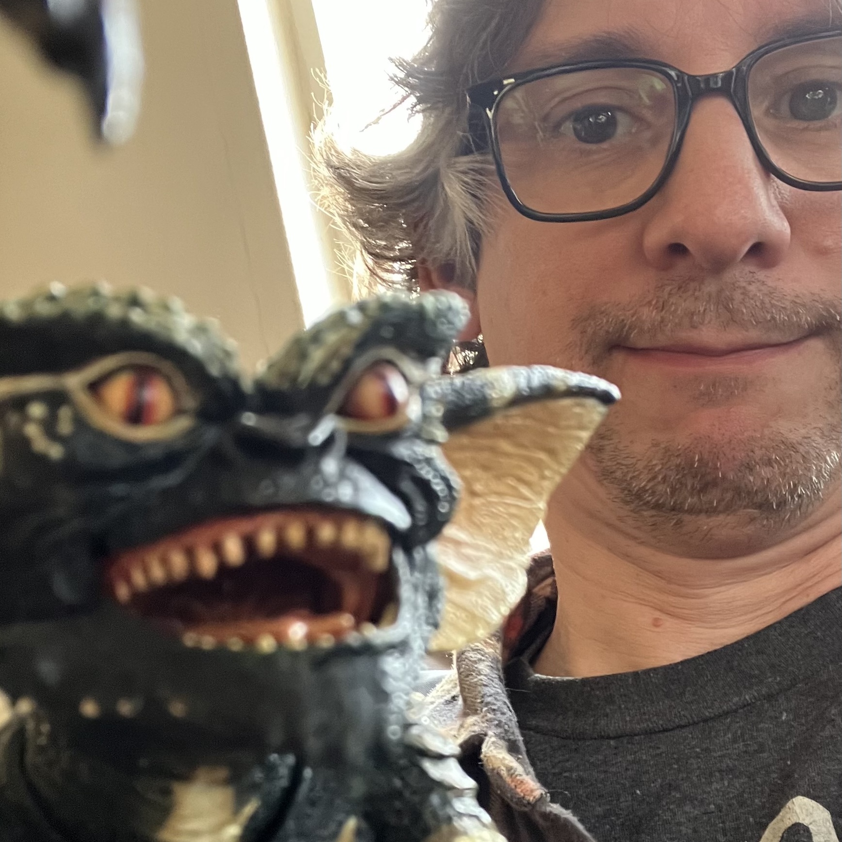
Bran Black
Bran tiene una formación en ciencias geológicas, oceánicas y medioambientales; el hilo conductor es la aplicación de imágenes de teledetección en lugares difíciles de cartografiar. Más allá de la investigación académica, su experiencia en cartografía y docencia se centra en ayudar a científicos y estudiantes, especialmente a los que no están familiarizados con el proceso cartográfico, a recopilar y analizar sus datos. Bran has a geologic, oceanic, and environmental sciences background; the common thread being the application of remotely sensed imagery at hard-to-map sites. Beyond academic research, her mapping and teaching experience centers on helping scientists and students, particularly those unfamiliar with the mapping process, to collect and analyze their data.
PB Echevarría
La experiencia de PB abarca desde la ingeniería automatizada hasta la codificación, desde el mapeo hasta la construcción de herramientas de análisis, desde la visualización de datos hasta la narración de historias. Sus profundas raíces tanto en el mapeo de código abierto como en numerosas comunidades geoespaciales de América Latina y el Caribe apoyan nuestro impulso fundamental de hacer que el mapeo y el análisis espacial sean lo más práctico y practicable posible para las personas que acaban de aparecer en la escena del mapeo. PB's experience ranges from automated engineering to coding, from mapping to analysis tool building, from data visualization to story telling. His deep roots in both the open source mapping and numerous Latin American and Caribbean geospatial communities support our fundamental drive to make mapping and spatial analysis as practical and practicable as possible for people newly emerging on the mapping scene.
 Photo by
 Photo by Ivan Gracia |
  Photo by
 Photo by